Showing posts with label Mount Jackson. Show all posts

Early Spring Sarge

- Winter is quickly vanishing in the White Mountains as February was one of the warmest and snowless months in almost ten years. With the warm temps and easy snow conditions Sarge and I took full advantage of it as February rolled into March.
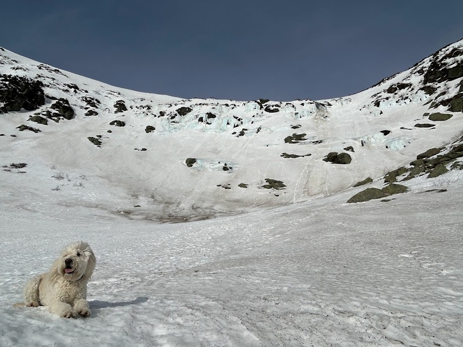
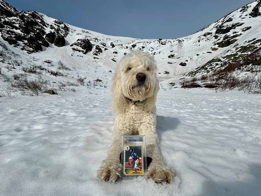
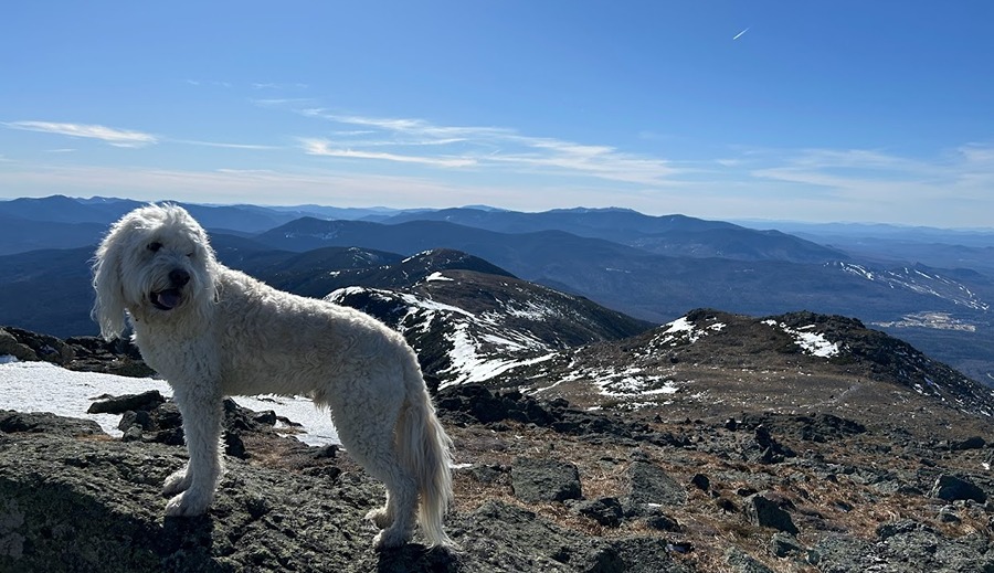
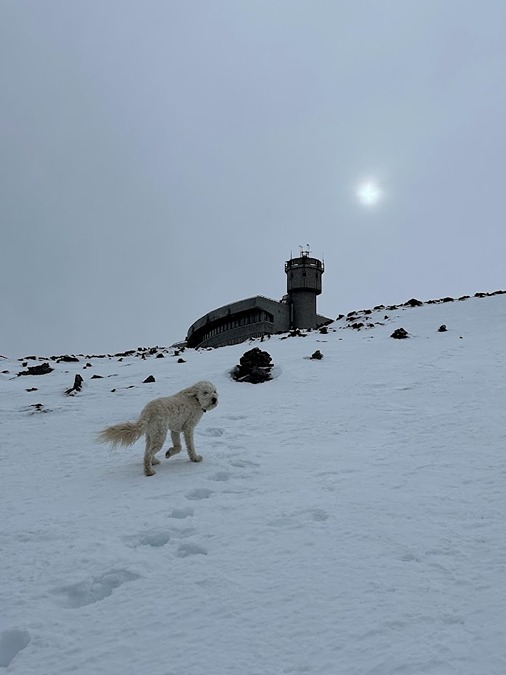
- Frist up, a pre-work scamper to Tuckerman Ravine for Bowl Pawtrol with special guest Bo Jackson (see pic below). We made it to Lunch Rocks at 8AM, it was unseasonably warm and quiet, I could have easily taken a nap in the sun without worrying about getting cold at all. 
- Sarge and I had the whole ravine to ourselves and we spent about fifteen minutes soaking up the sun and taking pictures before heading back down.
 - We quicky made our way down to Pinkham Notch and were surprised to see the ravine was now full of clouds as a storm was about to roll in, perfect timing for the Dood and I and a reminder that Mount Washington's weather is always one pitch away from tossing a curve ball.

Sarge takes a seat on his thrown in Tuckerman Ravine

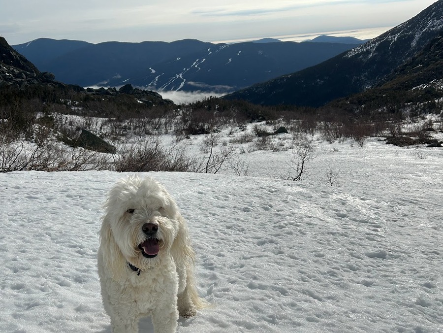
All smiles in the sun with Wildcat Ski area to the east

Just another morning on Bowl Pawtrol

Sarge Brings his favorite baseball card, a 1987 Topps Bo Jackson. 
"Bo Pawtrol Jackson"

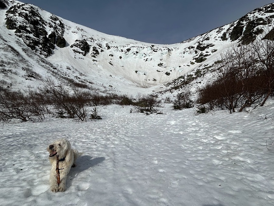
A stick snack before heading back!

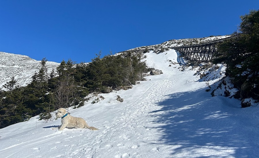
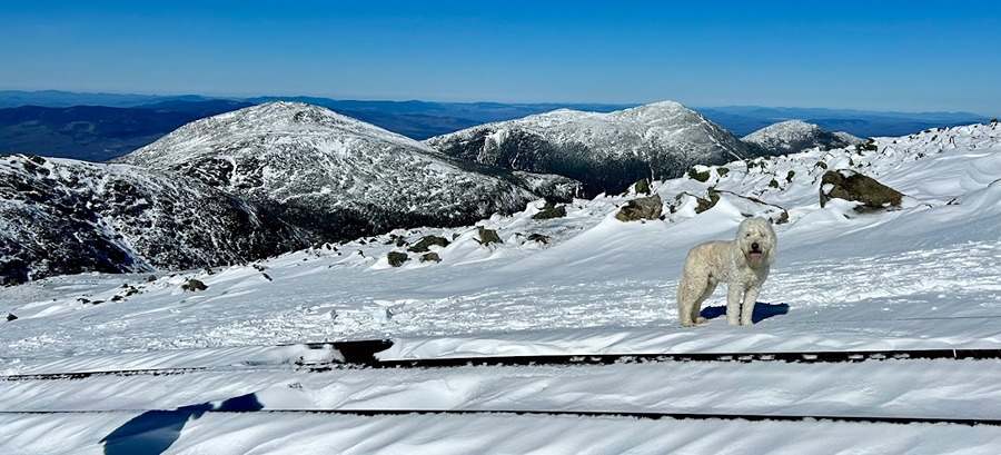
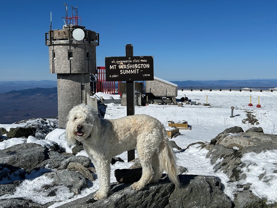
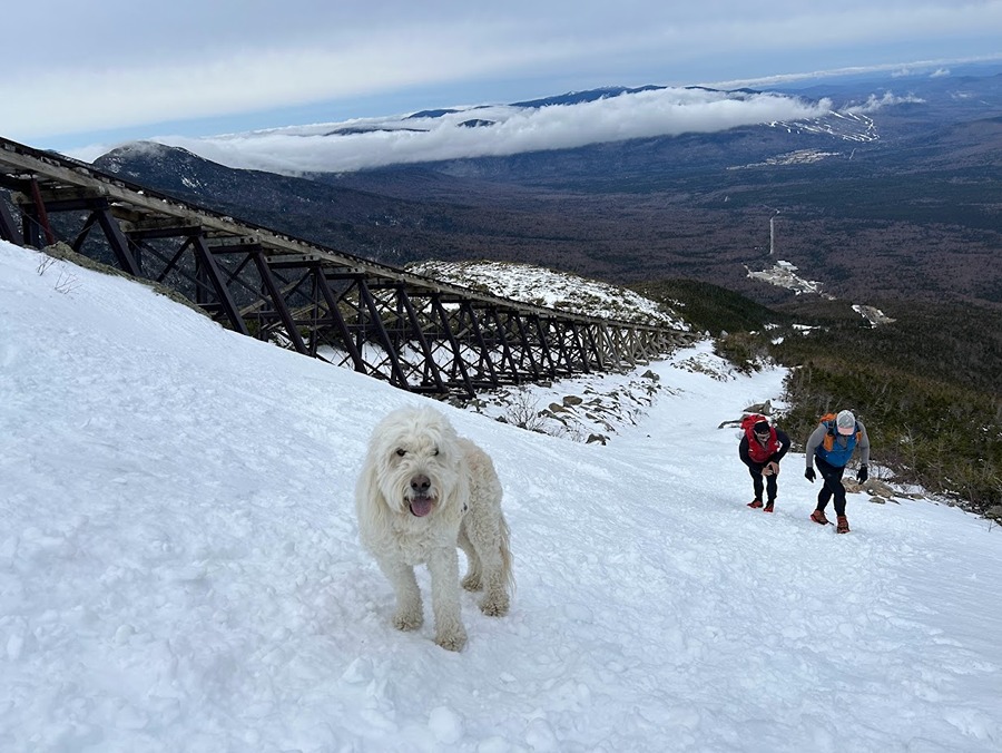
- Next up was a post work beach day on Mount Washington with Todd. We took the express way to the summit, the Cog Path. Not knowing what to expect we brought our snowshoes and extra gear. It ended up being so warm and easy we could have worn our summer rockpile kit of shorts, tshirt, and Houdini jacket. 

Sarge cools off in the snow as we ascend next to the Cog 

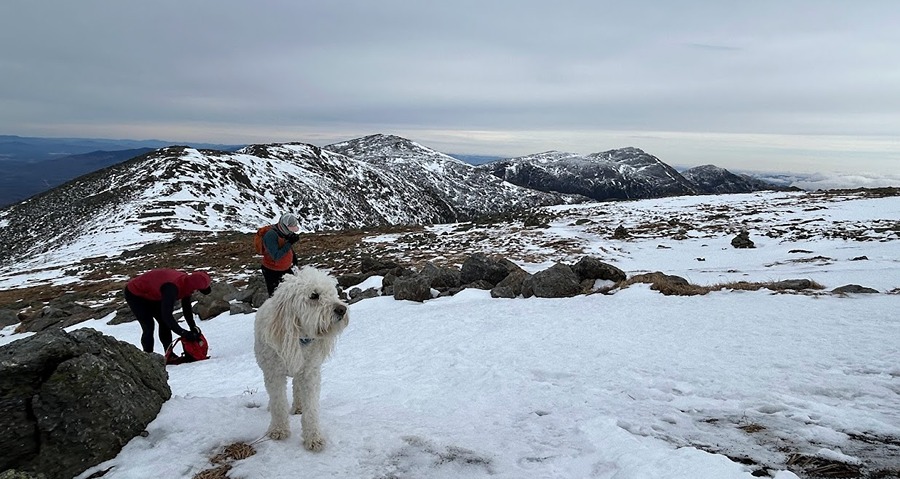
Posing with the Northern Presidential Range in the background

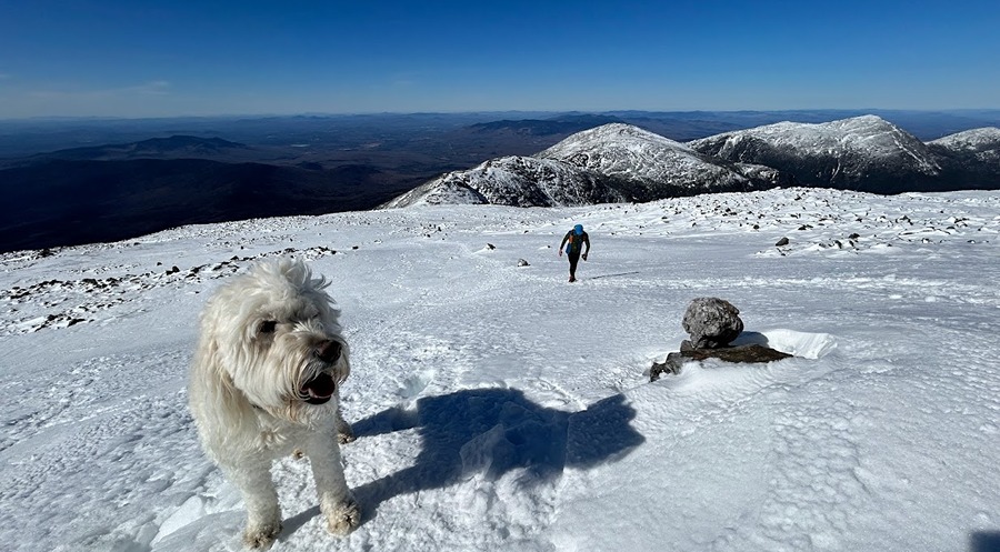
Sarge and Todd head up the summit cone

Beach day!

- It was such a nice day that instead of heading back down to the trailhead we made our way to Lakes of the Clouds Hut and over to Mount Monroe before steeply dropping down the Ammonoosuc Ravine Trail.

Leaving the summit and hooking onto the Crawford Path

Abundant sunshine as we descend Crawford Path

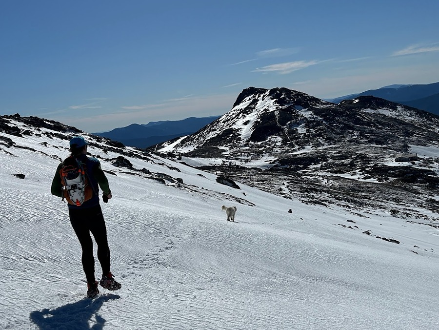
Sarge leads us towards Lakes of the Clouds

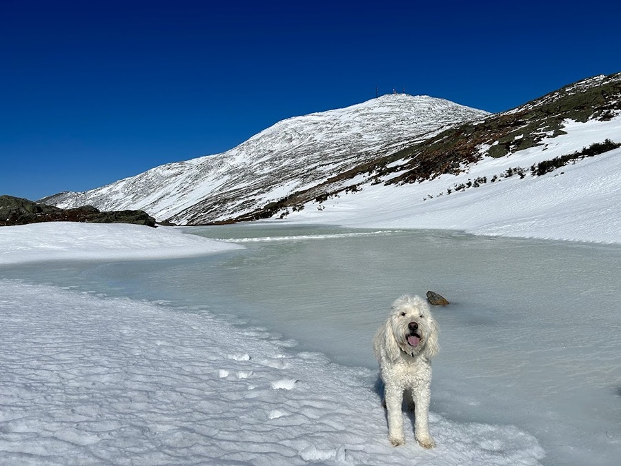
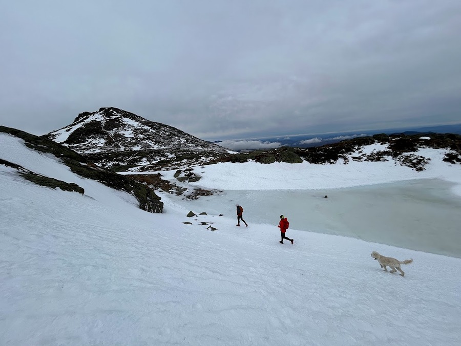
A still frozen Lakes of the Clouds

Sarge on Mount Monroe, capping off an incredible day above treeline!

- On Saturday, March 9th, Todd and Nate joined us for a Washington to Jackson traverse. Snow and ice conditions were the same as the day before but the winds were whipping consistently over 30 MPH with gusts around 45MPH.
 - We started at 7AM and headed up the Cog path then booked it south on the Crawford Path taking the loop trails over Monroe and Eisenhower before hooking onto the Webster-Cliff Trail over Pierce and Jackson before dropping down to Crawford Notch.
- The reason for the early start was to beat the weather as one last significant snowstorm was going to roll through by nightfall. Winds on the day were going to be rising, up to 100 MPH overnight, and temperatures would be falling throughout the day so the early start would give us plenty of time to casually hike and trail run this fourteen-mile route.
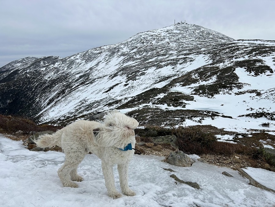
- We were shielded from the wind for the first two miles and then it instantly picked up as we gained the ridgeline just before the Westside Trail junction. It was definitely strong enough to pull us a little but not strong enough to knock us around. I was a little worried about Sarge but he had absolutely no issues at all, he led the way and sniffed the wind most of the time.

The gang heads up the Cog

Winds start whipping around up higher, time to layer up.

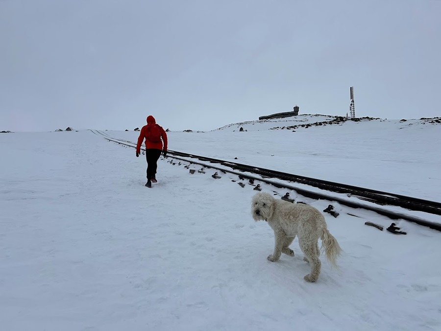
Sarge follows Nate along the tracks

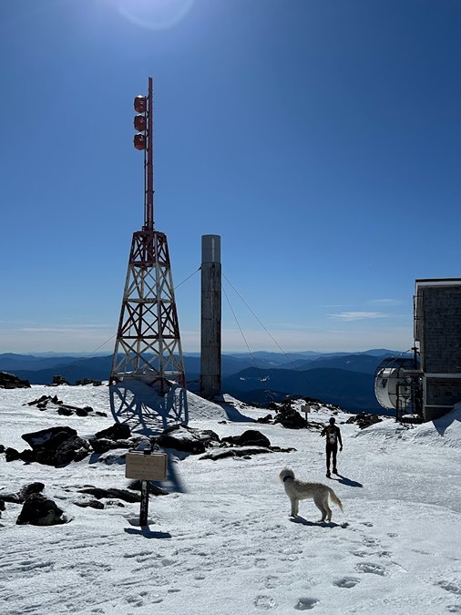
Last hundred feet to the summit

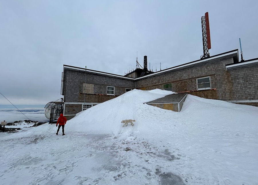
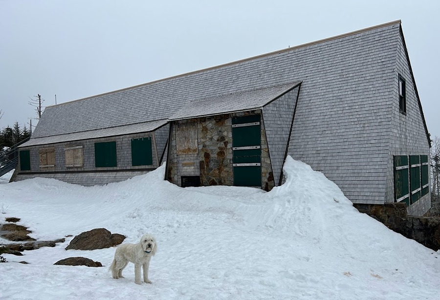
Big snow drift against the Yankee building on Mount Washington

- Heading down from Washington we were pleasantly surprised that the wind wasn't as brutal as we thought it was going to be so it was smooth sailing all the way to Lake of the Clouds. However, once past the hut we were back into high winds over Monroe and most of the way to Eisenhower where we experienced the last of the big gust on the summit before quickly retreating to relative comfort in and out of the trees to Pierce before finally bidding ado to any exposed sections sans the summit of Mount Jackson. 

Sarge sniffing the breeze on the Crawford Path

Nate, Todd, and Sarge heading to Lakes of the Clouds

Lakes of the Clouds

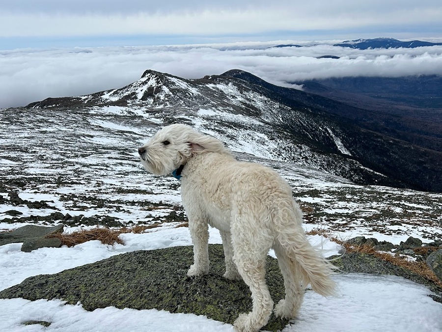
Another Sarge in the wind shot as we head up Mount Monroe

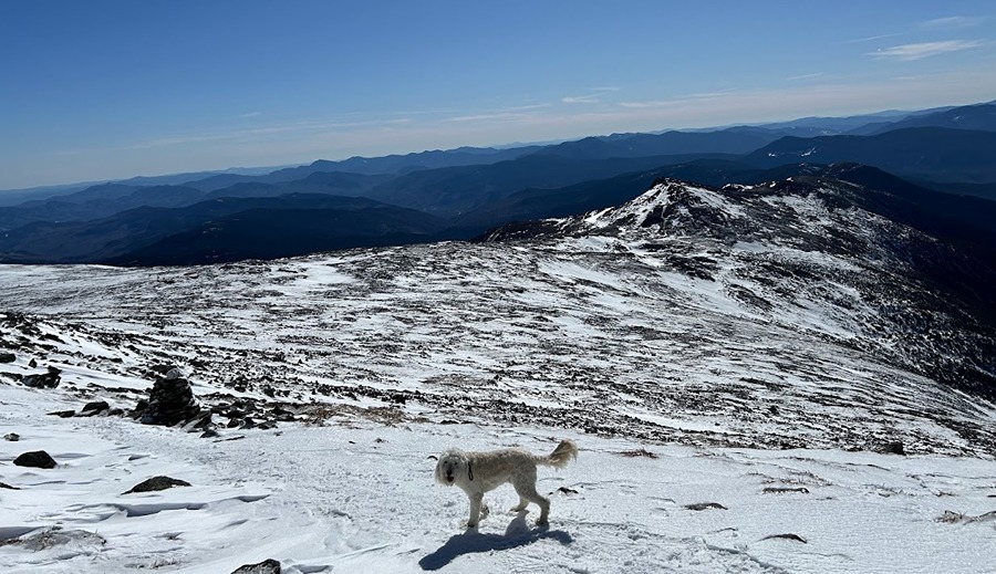
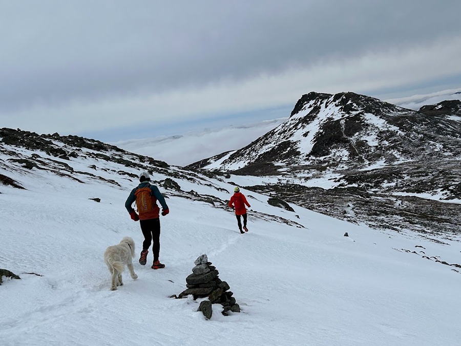
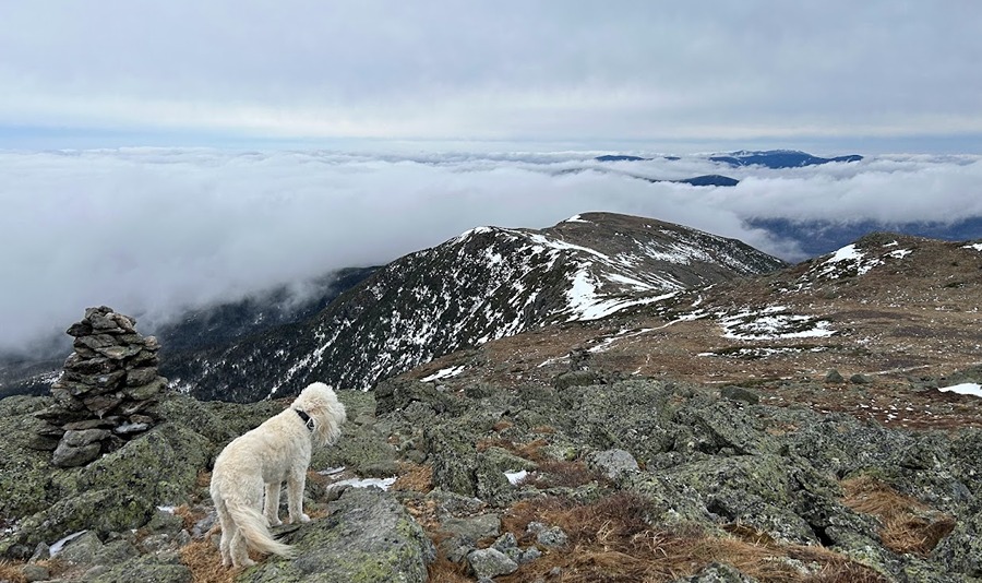
Sarge scopes out the trail conditions as we make our way through the Southern Presi's

The lack of snow for the early March was a little unsettling

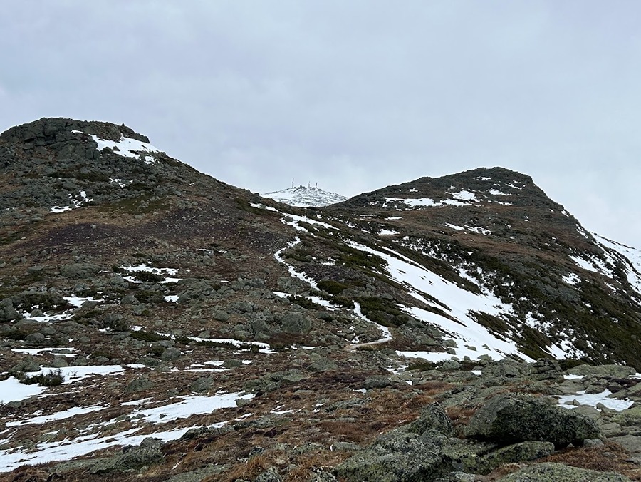
Looking back at Little Monroe and Monroe with Washington playing peekaboo

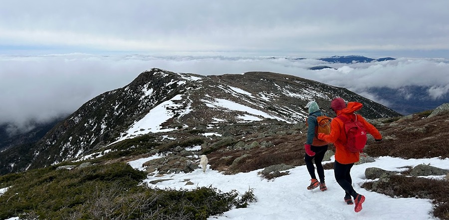
Mizpah Hut. Unfortunately, about a mile past Monroe we headed under the beautiful undercast we had been above leaving us in the clouds for the last six miles.

Swim / Bike / Run / Hike . . . Mount Jackson

Date of Hike: 4/14/18

Webster Jackson Trail: 5.20 (2,547 feet elevation gained) White Mountain Guide Online

Trip Report:
- More subpar hiking weather blanketed the north country over the weekend, with rain/sleet/snow forecasted.  Once again, it was off to the athletic club early Saturday morning for an indoor tri with a quick mountain chaser before the storm came moving in.
- My slow and steady pace in the pool is getting better, I broke the 2:00 / 100 yard pace I set, finishing my 1800 yard swim with a pace of  1:59 / 100 yard.  My next goal is a thirty minute mile swim, which I'm about five minutes off of, it will take awhile to achieve this in a pool but I might have better luck lake swimming this summer, no turns!
- Following the swim I headed downstairs and jumped on the stationary bike, it's just as rickety as it was last week but hasn't broke yet.  I set it on the hill workout and peddled for 35 minutes doing my usual 12.4 miles while drenching my shirt in sweat.
- Last but not least was a quick 5K on the treadmill, finishing in 20:45, with mile splits of 7:25 / 6:43 / 6:04.  There are five treadmills at the athletic club, the one in the middle is in great condition, while the rest are hit or miss, the two on the end work fine but are very loud, especially when you turn up the speed.  The second from the left works fine but is a very old model, and the second from the right doesn't go any faster than five miles an hour!
-  After finishing up at the gym I headed home for a big breakfast and to hang out with Sarge and Whitney before heading over to Crawford Notch for a short hike up Mount Jackson.
- Conditions for Mount Jackson were very good, a little ice down low but the trail was packed and firm, my snowshoes went for a free ride on the pack.  It was a relatively quiet day on the Webster-Jackson Trail, seeing only eight other hikers and a very happy small Chocolate Lab named Mr. Wilson!
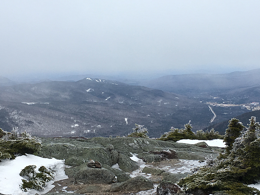
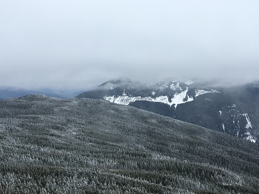
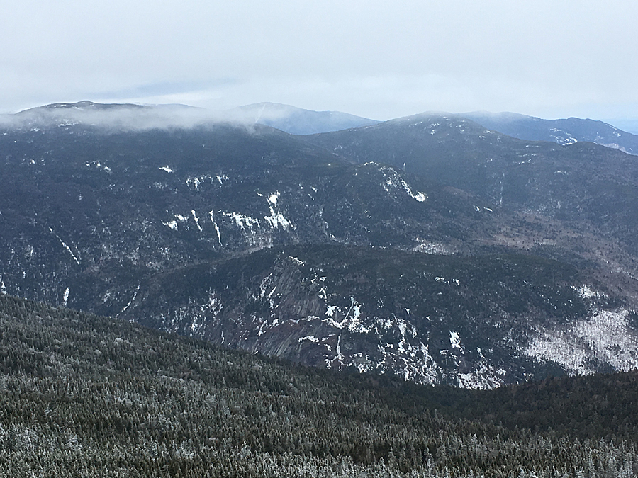
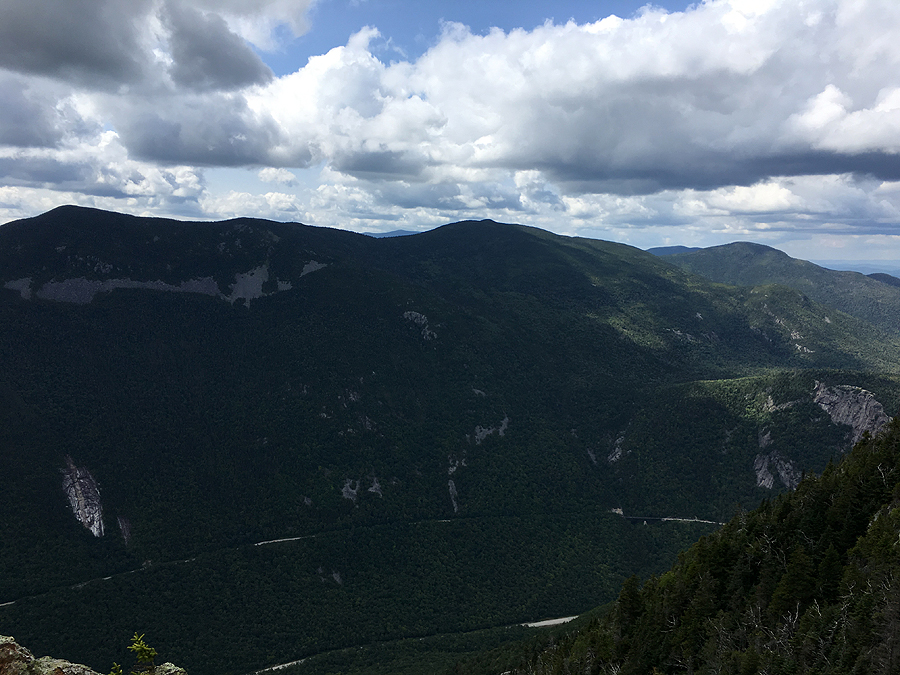
- I was expecting socked in views from the summit, but I got lucky and caught a clearing across the notch of the Willey Range just as I was descending the steep open slab section below the summit.
- I made quick work of the hike down and was able to make it back home just as the weather came rolling in and before Whitney headed to work.
- As I've said before, I enjoy this Tri-Hike challenge but I'd prefer better weather for just hiking all day.  Hopefully next weekend will provide above treeline weather!

Hiking up the Webster-Jackson Trail.  A little icy down low but plenty of snow left everywhere else

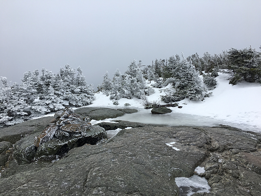
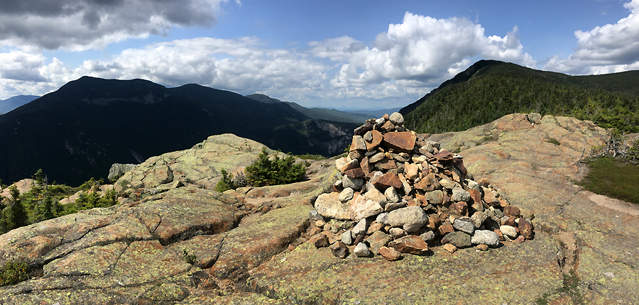
Mount Jackson Summit 

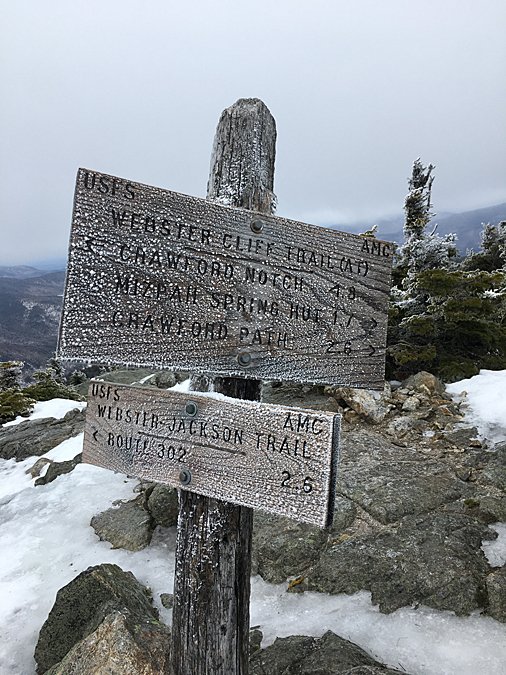
Webster-Cliff / Webster-Jackson trail junction 

Looking west toward Bretton Woods 

Mount Webster and Mount Willey 

Mount Willard, Avalon, Field, and Tom 

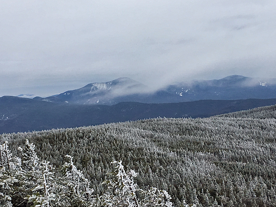
Mount Carrigain and the Hancock Range 

Playoff Sarge is ready to throw down!

Dry River Uprising

Date of Hike: 8/26/17

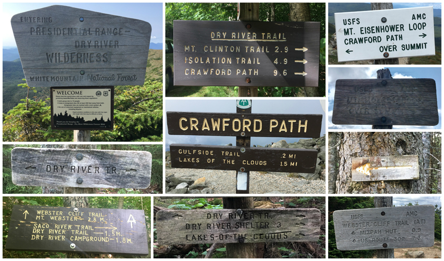
Dry River Trail: 9.6 Miles  /  Crawford Path: 3.2 miles  /  Mount Monroe Loop: 0.7  /  Crawford Path: 1.4 miles  /  Mount Eisenhower Loop: 0.8 miles  /  Crawford Path: 1.2 miles  /  Webster Cliff Trail: 6.8 miles  /  Saco River Trail: 1.6 miles  /  Dry River Trail: 0.5 miles
Total Miles: 25.8 (8,587 feet elevation gained) A.M.C. White Mountain Guide Online

Trip Report:
- Fall was in the air this weekend with cool and crisp temperatures overtaking the White Mountains.  I headed for the Dry River Wilderness just as the sun came up to get in some big miles before heading home for puppy duty while Whitney worked.  My original plan was to spend the day going up and down the trails in the Dry River Wilderness, but it was just too nice above treeline so I altered my plans once gaining the ridge above the Oakes Gulf.
- I started up the lightly used and beautiful Dry River Trail at 6:15AM.  The trail took a beating during 2011's Tropical Storm Irene, I've been back a few times since the trail reopened and am still in awe of the destruction to the river banks.
- The Dry River Trail is 9.6 miles long, but it's relatively flat with some easy uphill grades for the first eight miles before climbing steeply out of Oakes Gulf.  Along the way the trail follows the river and has a very remote feeling.  If you are looking to get away from the crowds head to the Dry River Wilderness.
-  While the trail is secluded, it's not overly exciting until the last mile or so, you're in the woods and there are no views, but it is a pretty trail, and it passes by the beautiful Dry River Waterfall just an earshot away down a beaten herd path about five miles in.  The other highlight is Dry River Shelter #3, located deep in the valley, just over six miles in.  Once past the Dry River Shelter, the trail takes on a more rugged feeling.  It has a reputation of being littered with blowdowns after the snow melts out from Oakes Gulf in mid spring.  On Saturday, there were a few dozen blowdowns, but most were on the smaller side and where easily stepped over or ducked under, recently these blowdowns had their gnarly branches cut making the going a lot easier.
- The last quarter mile is above treeline as the trail snakes its way up and over the ridge to Lakes of the Clouds.  Here, the views down into the Dry River Valley are great, and there is a really unique view of the backside of Mount Monroe which looms large just a few tenths of a mile away.
- After almost ten miles of total seclusion, of which I saw one group of three hikers, I joined the conga line up to the rock pile, Mount Washington.  It was busy as usually at the observatory and quite chilly, low 40's, a steady breeze, so it was hat and gloves time.  I took a short break in the cafeteria before deciding to alter my original plan, which was descending the Davis Path to Isolation Trail West where I would drop back into the Dry River Valley.  Instead, I decided to stay above treeline and head down the Southern Presidential Range to Mount Webster before heading down for good.
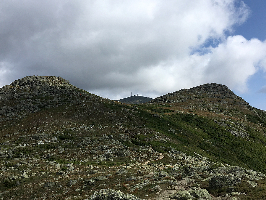
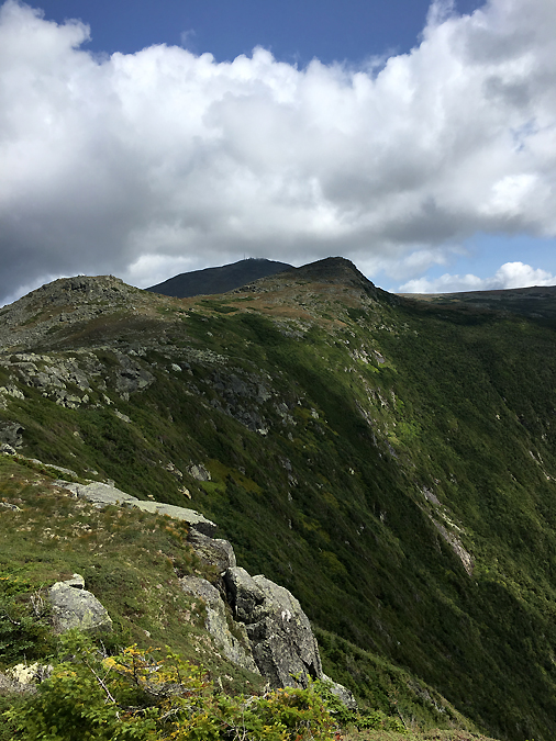
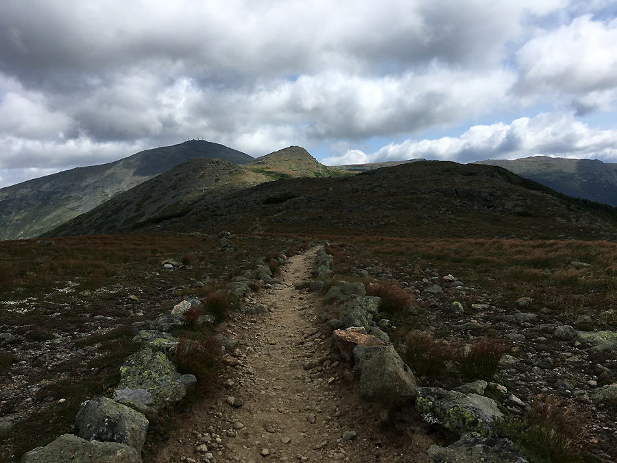
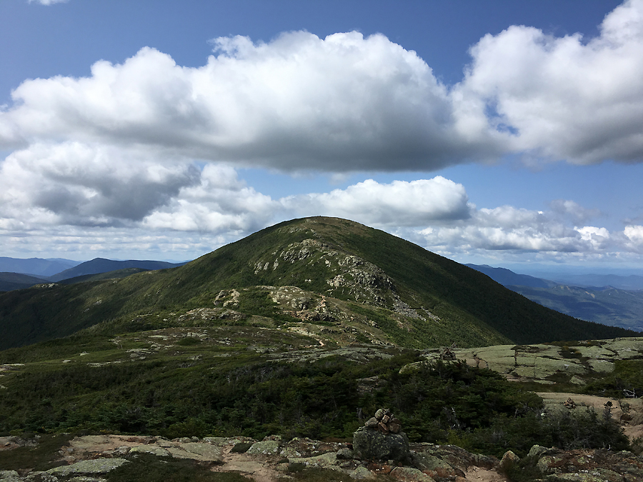
- The hike over Monroe, Franklin, Eisenhower, Pierce, Jackson, and Webster was great.  There were a bunch of hikers out and about, probably the most I have ever seen up there.  The weather was spectacular, nice and cool, and the views were splendid too.  Needless to say, I was really happy that I adjusted my plans for the day.  :)

Elevation over distance profile

The spiffy looking Dry River suspension bridge

Hiking the Dry River River Trail, It has easy grades and decent footing over the first six miles, with some freshly cut blowdowns.  It parallels the Dry River for most of its length

Dry River Falls

Approaching the Dry River Shelter #3

Dry River Shelter #3

Once past the shelter the trail becomes more and more rugged

Heading up Oakes Gulf

Looking back down into the Dry River Valley

Lakes of the Clouds

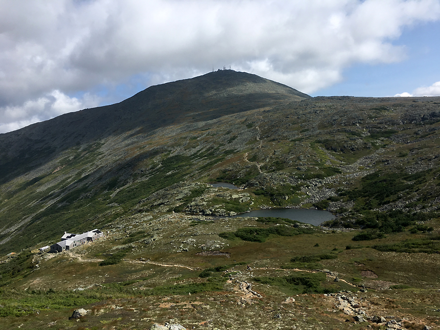
Lakes of the Clouds and Mount Washington

Mount Monroe

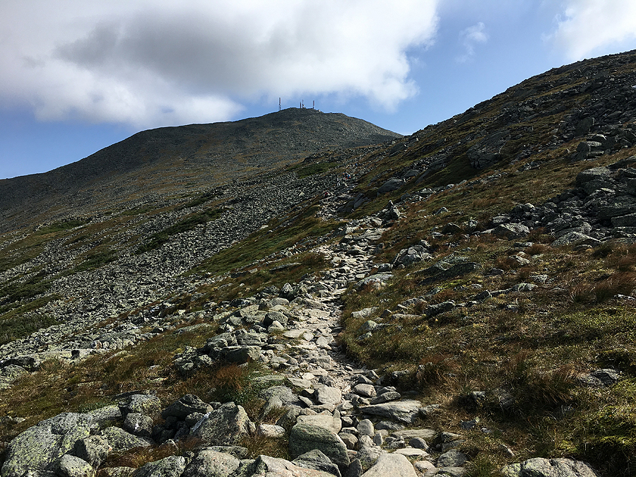
Hiking up to the rock pile, although there are boulders of all sizes everywhere, the trail has been maintained and built to feel more like a sidewalk and rock steps

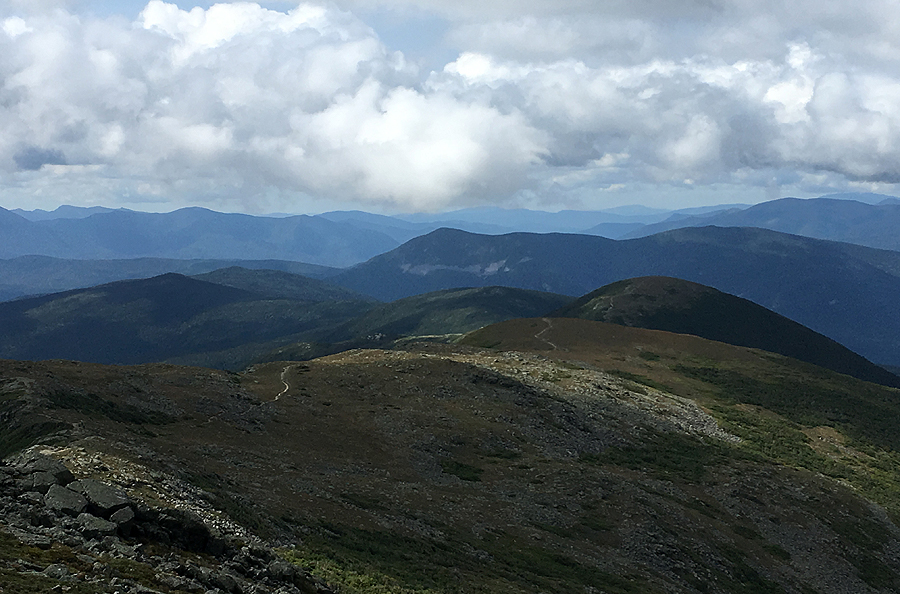
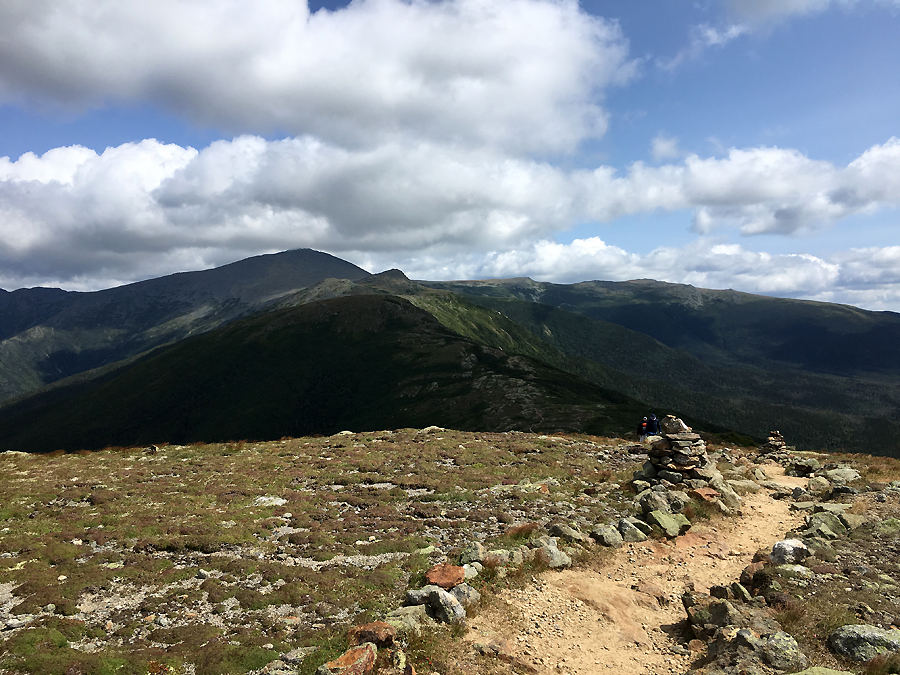
The Southern Presidential Range

Lakes of the Clouds and Mount Washington

View from Lil' Monroe

Monroe with Washington playing peekaboo behind it

The steep drop down into Oakes Gulf as seen from Mount Franklin

Franklin, Monroe, and Washington from Presidential Lawn

Mount Eisenhower

View from summit of Mount Eisenhower

Mount Pierce

View from Mount Pierce

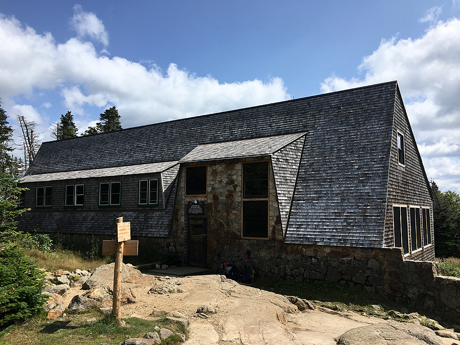
Mizpah Spring Hut

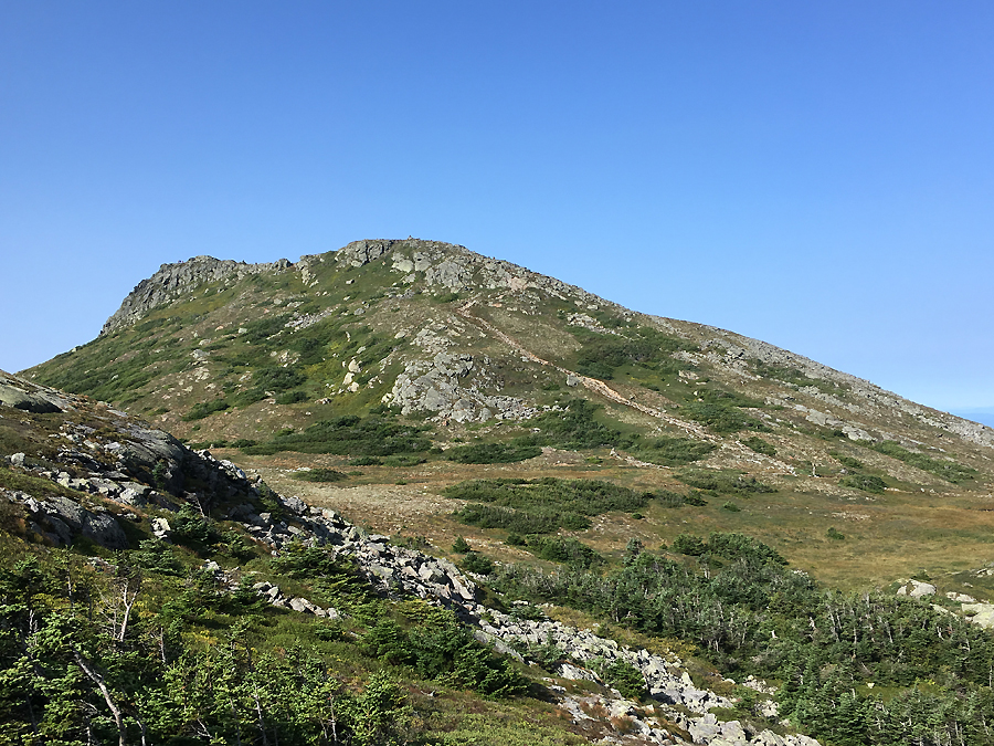
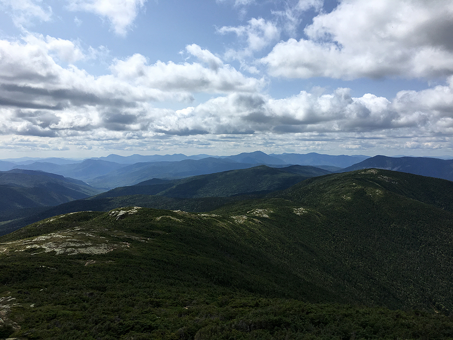
View from Mount Jackson alpine meadow

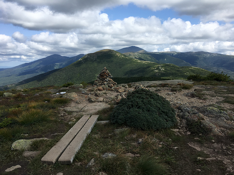
Presidential Range from Mount Webster

Hiking along the Webster Cliff Trail

Willey Range (Willey, Field, Tom)

Heading down Webster Cliff

Trails taken along the way